Key West
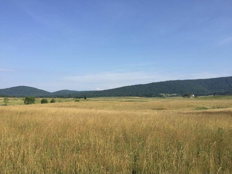
The orphan John grew up and moved west, toward where the flat tidewater gives way to the rolling Piedmont.
Spotsylvania
In February 1727 a deed for 1,000 acres on the North Anna River and Douglas Run, conveyed by Colonel John Waller, describes the land “where John Key was living.” In October 1731 a John Key of the same county became guardian to James Lee, orphan of John Lee; a boy who had needed a guardian himself was now one. That year he sold 350 acres to Henry Lewis for £35, and his wife Martha released her dower right, the first record to name her. Family genealogies say she was a Tandy. That is not proved, but the name Tandy turns up again and again in the family for two hundred years.
Between the First and Second Ledges of Mountains
In 1732 he patented his first 400 acres on the Rivanna River, “between the First and Second Ledges of Mountains,” at the foot of the Southwest Mountains near today’s Charlottesville. He was one of the first settlers there. More patents followed, 350 acres north of the Rivanna in 1735 and 400 acres on Colonel Meriwether’s line and Key’s Mill Swamp in 1741, and by 1741 he held more than 1,700 acres. He built a mill, served as a road surveyor and was commissioned ensign in the county militia in 1745. He called his home Key West, and a neighbourhood there still carries the name.
The mansion house divided
On 9 February 1758 the old man settled his land on his sons. To “my beloved son Martin Key” he gave the upper half of the 1732 patent. The lower half, with “the mansion House and Plantation,” went to Martin’s “younger Brother John Key,” who was already living there. The same day he sold Martin 150 acres on the Rivanna and noted that the rest of that tract had gone to his daughter Mary. A house nearby later known as Windie Knowe was, by family tradition, John Key’s “gentleman’s lodge.”
Tobacco and enslaved labour
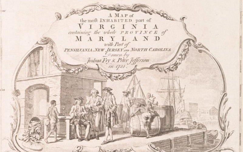
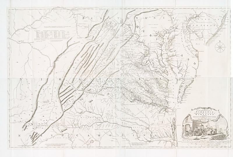
Like other planters of the district, the family’s wealth rested on tobacco and on the labour of enslaved people. The decorative panel on the Fry–Jefferson map shows that world as its makers wanted it seen: planters at their ease on a wharf while enslaved men roll and load the hogsheads of tobacco for England.