John Key's own land
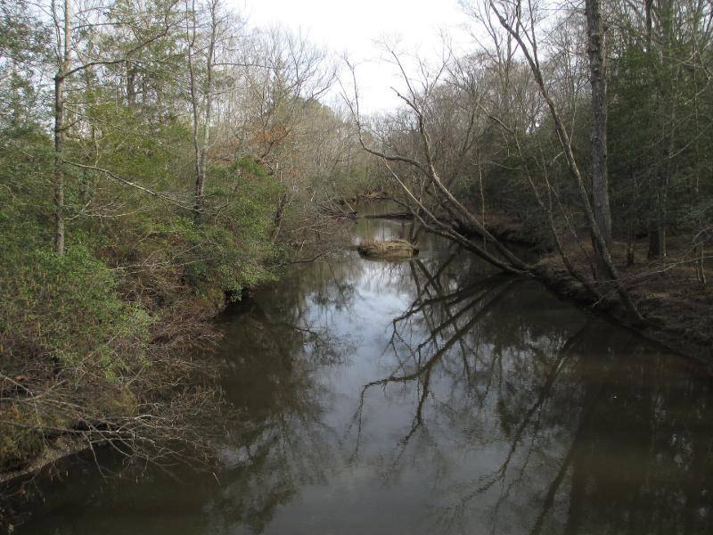
John the younger did not stay a name on another man’s list. In February 1672/3 a neighbour’s survey on the Mattaponi River, about forty miles north of the James, mentions “John Kea his land.” He had land of his own, and he served on the county jury.
Three hundred and seventy acres
On 8 April 1674 he became a landowner in his own right: 370 acres in New Kent County, on the north-east side of the Mattaponi, “begining at a Corner red oake in Major Wm. Wyatts Back line.” The bounds run past the corners of William Burch, John James and John Haines and cross the road. The grant was for bringing seven people into the colony, and the first two names are “Jno. Key” and “Edmd. Key.” He may have sailed back to England and returned to earn those rights, as Marcus Key believed, or he may have bought the certificates.
The land lay about half a mile north-west of today’s crossroads of Truhart, between the western branch of Heartquake Creek and Grass Creek, crossed by the old King’s Road that is now State Route 14. It was the first land any Key of this line owned in America.
The Palmers
His land lay about three miles from Major Martin Palmer, a militia officer who had come from England about 1653 and held more than a thousand acres on the other side of the river. Palmer’s own patent, 1,152 acres in Pamunkey Neck, was entered in the patent book the day before John’s, on the facing page. John married Palmer’s daughter Mary, and they named their son Martin for his grandfather.